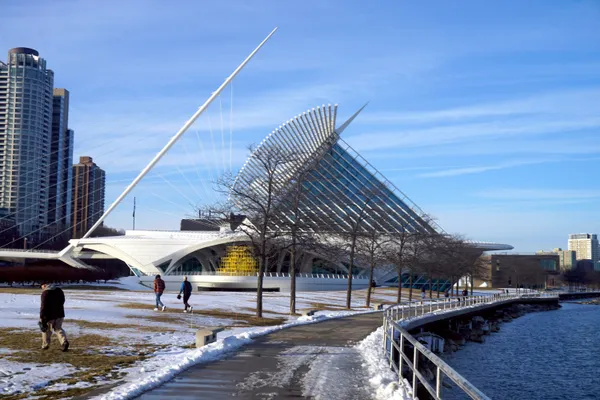
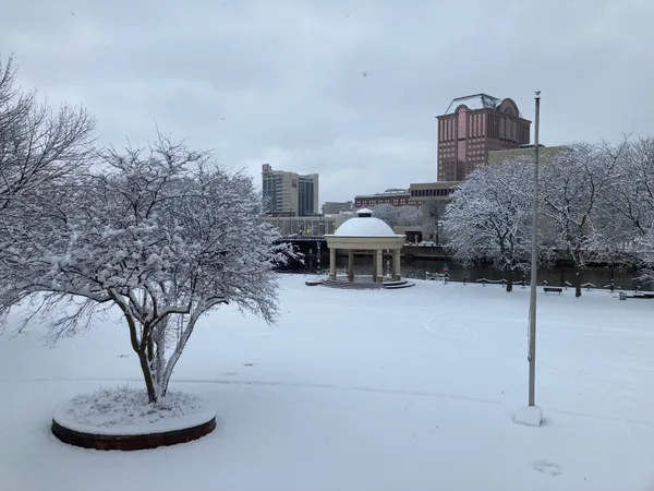
Soggy Start and Snowy Surprises: Milwaukee's Damp Thursday Outlook
A Grey Start for the Brew City
Milwaukeeans waking up this Thursday, March 5, 2026, will find a gloomy and damp scene outside their windows. The city is currently under a thick blanket of low clouds, with light rain and drizzle expected to persist through the early hours. Temperatures this morning will hover in the mid-30s, making for a chilly commute. While the rain remains the primary concern for early travelers, the National Weather Service has noted that patchy fog, potentially dense in some areas of southeast Wisconsin, could reduce visibility on the roads.
Morning to Afternoon: Rain, Wind, and a Potential Snow Band
The morning hours will see widespread light to moderate rain, with precipitation chances sitting between 60 and 80 percent. Winds will be moderately breezy, blowing from the northeast at 10 mph with occasional gusts reaching 15 mph. However, weather experts are monitoring a more unusual development: an east-west snow band is expected to develop later this morning into the afternoon. While most of the city will experience rain, this narrow corridor could see quick snow accumulations of 1 to 3 inches if the cold air holds steady.
As we move into the early afternoon, the steady rain is expected to taper off, likely coming to an end around 1:00 PM. Temperatures will climb toward a daily high of approximately 42°F. Despite the cessation of rain, the overcast skies will remain a permanent fixture throughout the day.
Evening and Overnight: Shifting Winds and Cooling Down
By the evening, the weather will turn quieter but remain notably damp. Temperatures will settle back into the upper 30s and low 40s. The breezy northeast winds will begin to slow, averaging around 5 to 10 mph, before shifting to the southeast late tonight. This wind shift marks the approach of a warm front that is expected to bring much milder temperatures—and potentially severe thunderstorms—later in the week.
For tonight, residents should expect:
- Cloud Cover: 100% overcast skies with low-hanging clouds.
- Precipitation: A lingering 20% chance of isolated light showers or drizzle.
- Temperature: An overnight low of roughly 35°F to 37°F.
- Visibility: Potential for freezing fog in outlying areas, though the urban center is expected to stay just above the freezing mark.
While today is a day for umbrellas and waterproof layers, the forecast suggests a significant transition is on the horizon. Milwaukee should prepare for a volatile Friday, where temperatures are predicted to spike into the 60s alongside a risk of strong evening thunderstorms.
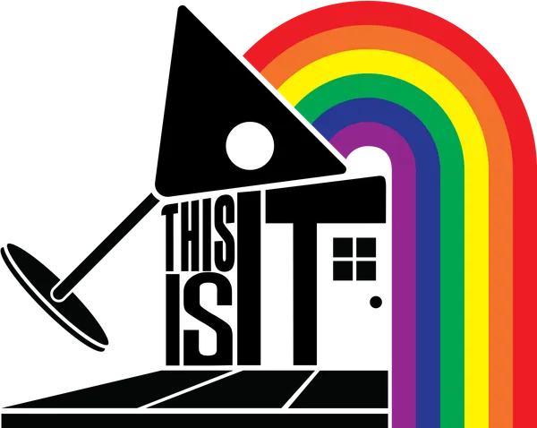
Wisconsin approves state historic marker for Milwaukee’s former This Is It! LGBTQ bar building
Milwaukee officials outline changes to Brady list process, raising questions about notice and oversight
Milwaukee’s March Snow, a Stand Against Rate Hikes, and the Road to Recovery: Your Thursday Briefing