Slippery Starts and Snowy Commutes: Milwaukee Braces for a Chilly Midweek Shift
Morning: A Frosty and Fretful Start
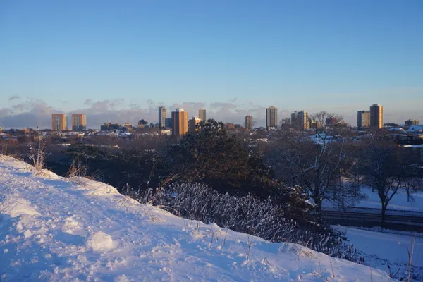
Residents waking up in Milwaukee this Wednesday, January 21, 2026, will find themselves greeted by a biting winter chill and gray, leaden skies. Early morning temperatures are hovering near 20°F, but the real story for the sunrise hours is the lingering presence of light snow flurries. Local meteorologists have issued warnings regarding slow and slippery travel conditions during the early morning commute. With humidity levels reaching approximately 92%, any moisture on the roads is likely to freeze quickly, creating localized patches of black ice on side streets and highway off-ramps.
- Temperature: 20°F to 22°F
- Conditions: Cloudy with light A.M. flurries
- Impacts: Slippery roads and reduced traction for early drivers
Afternoon: A Brief Reprieve Under Gray Skies
As the city moves into the midday hours, the mercury is expected to climb slightly, reaching a daily high of approximately 25°F to 26°F. While these temperatures remain well below the freezing mark, the intensity of the morning flurries is expected to taper off temporarily, providing a window for improving travel conditions across the metro area. Despite the break in precipitation, do not expect to see the sun; a thick layer of low clouds will persist throughout the afternoon, keeping the atmosphere feeling damp and heavy. Winds will remain steady out of the west-southwest at about 13 mph, ensuring that the 'RealFeel' temperature stays significantly lower than the actual reading.
Evening and Night: The Arctic Front Approaches
The weather takes a more active turn as the sun sets. An incoming Arctic front is predicted to sweep across Southeast Wisconsin late this afternoon and into the evening. This front will bring brief but fast-moving snow showers that could once again reduce visibility just in time for the evening commute. Forecasters are calling for a 55% chance of precipitation tonight, with snow accumulations expected to be between a coating and a full inch. As the front passes, the temperature will begin a sharp descent, bottoming out at a low of 8°F to 9°F by the early hours of Thursday morning.
- Wind: WSW at 13 mph, gusting higher during frontal passage
- Snowfall: Additional coating to 1 inch likely after sunset
- Evening Low: 8°F
Precautions and Outlook
With an Extreme Cold Watch looming for the end of the week, today serves as the transition point into a much harsher weather pattern. Citizens are encouraged to ensure their vehicles are equipped with emergency winter kits and to allow extra time for travel this evening. The combination of falling temperatures and fresh snow showers after dark will make for hazardous driving conditions. Looking ahead, the city should prepare for a significant cold wave, with temperatures predicted to plunge into the negatives by tomorrow night.