Slick Commutes and Rising Temps: Milwaukee’s Thursday Forecast Brings Snow and Sleet
Morning: A Snowy and Chilly Start
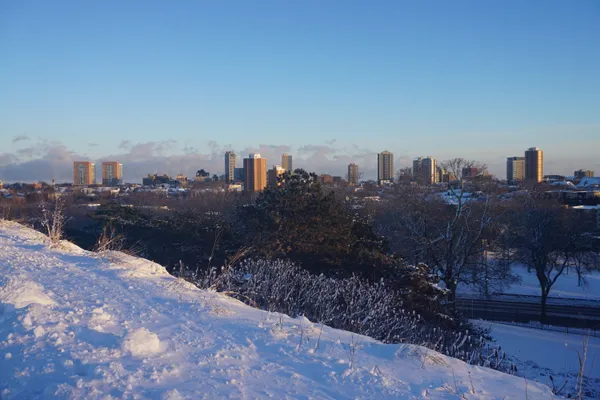
Milwaukee residents waking up this Thursday, February 5, 2026, will find themselves in the thick of a classic Wisconsin winter morning. The day begins with temperatures lingering in the mid-teens, but the real story is the precipitation. Early morning snow has already begun to accumulate across the city, with total snowfall expected to reach just over an inch by the end of the commute. Beyond the snow, the National Weather Service has noted that patchy freezing drizzle and flurries are likely to linger beyond sunrise. This combination is expected to create slick spots on untreated roadways, particularly on side streets and overpasses. Local authorities are advising drivers to exercise caution and allow for extra travel time during the morning rush.
Afternoon: Warming Trends and Southward Breezes
As we move into the afternoon, Milwaukee will see a noticeable, albeit modest, warming trend. While the sky will remain largely blanketed by clouds, a few breaks or "strips" of clear sky may be visible in the late afternoon hours. Temperatures are expected to shoot into the upper 20s and possibly hit the low 30s, reaching a high of approximately 33 degrees by 2:00 p.m. This rise in temperature is being driven by warm winds shifting out of the south. These winds will average around 10 mph, with occasional gusts reaching up to 15 mph. While the warming air may help melt some of the morning’s fresh snow on the main thoroughfares, the high humidity will keep the air feeling damp and heavy.
Evening: Turning to Sleet and Higher Humidity
The evening forecast suggests that the typical nighttime temperature drop will be delayed. Instead of cooling off, temperatures are predicted to hold steady or even warm up slightly into the low 30s as the night progresses. However, this does not mean the weather is clearing. By the late evening and into the early morning hours of Friday, a second round of precipitation is expected to move through the area. Forecast models indicate a transition from light snow to a wintry mix of sleet and freezing rain around 3:00 a.m. Visibility may be reduced in areas where heavier snow bands localize. Residents should be prepared for potentially messy conditions if they are out late tonight or early tomorrow morning.
At-A-Glance: Thursday’s Weather Summary
- Morning Low: Mid-teens (rising through the day)
- Afternoon High: 30°F - 33°F
- Precipitation: 1+ inch of snow in the morning; sleet and snow mix late night
- Wind: South at 10 mph with gusts up to 15 mph
- Travel Notice: Slick roads due to freezing drizzle and morning snow accumulation