Morning Slush and Midnight Chills: A Blustery Friday for Milwaukee
Morning Commute Alert: Sleet and Snow Cover the Roads
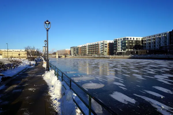
Milwaukee residents waking up this Friday, February 6, 2026, are met with a messy start to the day. A low-pressure system moving through Wisconsin has delivered a mixture of snow and sleet that began in the pre-dawn hours. Most of the accumulation—estimated at approximately 1.5 inches—fell before 6:00 a.m., leading to slippery conditions for the early morning commute. Local authorities are advising drivers to use caution on side streets and overpasses where the wintry mix may have iced over quickly despite the relatively mild temperatures earlier in the week.
A Brief Midday Reprieve and Potential Squalls
As the city moves into the afternoon, the heaviest precipitation is expected to taper off, leaving Milwaukee under mostly cloudy skies. However, the forecast indicates a secondary window of concern during the noon hour. Atmospheric models suggest that concentrated wet snow bands may form around lunchtime, potentially adding another tenth of an inch of accumulation. While the likelihood of a full-scale snow squall remains low, visibility could drop suddenly during the lunch rush. Temperatures are expected to peak at a high of 37°F in the early afternoon, which may help melt some of the morning’s accumulation on treated surfaces before the next phase of the storm arrives.
Arctic Blast: Temperatures Plummet After Sunset
The mild afternoon will be exceptionally short-lived. By approximately 4:00 p.m., the wind is forecast to shift decisively to the north, ushering in a sharp blast of arctic air across Southeastern Wisconsin. While average wind speeds will hover around 15 mph, residents should prepare for powerful gusts reaching as high as 34 mph. These northern winds will rapidly strip away the day’s warmth, causing the mercury to dive. As the clouds break late in the evening, the lack of a protective cloud blanket will allow the temperature to bottom out at a frigid 8°F overnight.
Weather Safety and Preparation
Given the dramatic swing in conditions today, residents should keep the following safety points in mind:
- Flash Freeze Warning: As temperatures drop from 37°F to the single digits this evening, any standing water or slush on the roads will freeze into dangerous black ice.
- Wind Protection: Gusts up to 34 mph may make outdoor activities difficult and will significantly lower the wind chill factor tonight.
- Home and Pet Safety: Ensure pets are brought indoors before the sun sets, as the rapid temperature drop can be hazardous to animals left outside.