Milwaukee Shivers: Frosty Skies and Single-Digit RealFeel Grip the City This Tuesday
Chilly Realities: Milwaukee Navigates a Bitter Tuesday
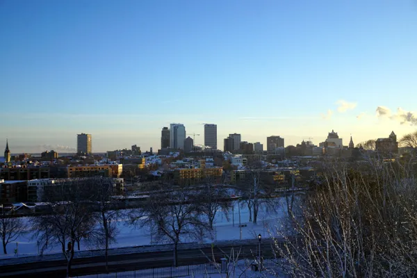
Milwaukee residents waking up this Tuesday, February 3, 2026, will find themselves in the heart of a persistent mid-winter chill. While the heavy precipitation from the recent historic January storm systems has moved east, a strong dome of high pressure from the west is dominating the local atmosphere. The result is a day that looks brighter than it feels, with temperatures struggling to climb out of the basement. For those heading out the door, the primary message today is one of preparation: layers are essential as the city faces a day of sub-freezing conditions and biting wind chills.
Morning: A Frigid Commute
Early morning commuters will encounter temperatures starting in the low double digits, hovering around 11°F to 13°F. However, the actual air temperature tells only half the story. With a steady breeze coming from the northwest at 5 to 10 mph, the "RealFeel" or wind chill index will dip into the single digits, likely staying between 5°F and 8°F during the peak morning rush. Skies are expected to be partly cloudy to mostly cloudy, though some lingering low clouds from the overnight period may provide a gray backdrop for the early hours. There is a negligible 4% to 10% chance of a stray flurry, but no accumulation or significant travel delays are anticipated on the roads.
Afternoon: Peaks in the Low Twenties
As the day progresses into the afternoon, Milwaukee will see its maximum temperature for the day, which is projected to reach approximately 22°F to 25°F. Despite the presence of the sun through periodic breaks in the cloud cover, the northwest winds will keep the air feeling much colder. Residents can expect a maximum RealFeel of only 13°F during the warmest part of the day. The atmospheric pressure remains high, which will suppress any major storm development, leading to a dry but cold afternoon for outdoor activities or errands. Visibility will remain excellent, making for safe driving conditions throughout the metro area.
Evening and Overnight: A Deep Freeze Returns
Once the sun sets, the mercury will drop rapidly. Evening temperatures are forecast to fall back into the mid-teens before settling at an overnight low of 8°F. Skies will transition toward becoming partly cloudy, allowing for significant radiational cooling. Winds will shift slightly, becoming more variable and light at around 5 mph from the north-northwest. This calm wind will prevent the wind chill from becoming dangerously low, but the raw cold will remain a factor for anyone attending evening events or working late shifts.
Weather Outlook and Safety Reminders
- Precipitation: No significant rain or snow is expected today, with the probability of precipitation remaining below 10%.
- Wind Alerts: There are no active wind warnings, though sustained breezes of 9 mph will keep the air feeling crisp.
- Preparation: The Milwaukee News weather desk recommends checking vehicle batteries and ensuring home heating systems are functioning efficiently as this cold snap continues into midweek.