Lake Effect Snow and Sharp Wind Chills: Milwaukee Navigates a Bitter Saturday
Morning Outlook: A Frigid Start with Widespread Flurries
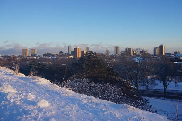
Milwaukee residents waking up this Saturday, January 31, 2026, are greeted by a deep winter chill and overcast skies. As of the early morning hours, temperatures have hovered around a biting 16°F, though the real story is the wind chill. With humidity levels near 78% and a steady breeze from the northwest, the atmospheric 'feels like' temperature has plummeted to near 0°F. Localized flurries and light snow are already present across the metro area, creating a thin veil of white on untreated surfaces.
Afternoon Forecast: Lake Effect Bands and Peak Cold
As we move into the afternoon, the mercury is expected to climb slowly, reaching a forecasted high of approximately 23°F. While this marks a slight increase from the morning lows, the arrival of lake effect snow bands remains a primary concern for the city. According to the National Weather Service in Milwaukee/Sullivan, these snow bands are expected to 'wiggle' ashore throughout the day. Northern Milwaukee County, in particular, is in the direct path for moderate to heavy snow accumulations as the moisture from Lake Michigan interacts with the frigid air mass.
The probability of snow remains around 20% for the broader region, but visibility may drop suddenly in areas affected by these heavier lake-fed bursts. Winds are expected to sustain at roughly 12 to 15 mph, contributing to conditions of blowing snow that could impact weekend errands and local travel.
Evening and Overnight: The Deep Freeze Returns
The sun will set at 5:03 PM, leading into a mostly cloudy and significantly colder night. Evening temperatures will slide back down toward a low of 11°F to 12°F. While the chance of active snowfall decreases to about 10% after dark, the combination of existing snow on the ground and sub-freezing temperatures will likely lead to slick spots on residential streets and sidewalks. Humidity will remain high, near 74%, ensuring that the cold feels damp and penetrating throughout the late-night hours.
Travel Advisories and Safety Notices
Due to the predicted blowing snow and lake effect intensity, a few key precautions are recommended for Milwaukeeans today:
- Northern Milwaukee County: Drivers should be prepared for sudden changes in visibility and powdery snow accumulation on roadways.
- Wind Chill Safety: With wind chills remaining near or below zero for much of the day, outdoor exposure should be limited to prevent frostbite.
- Blowing Snow: Even if active snowfall is light, the 12 mph winds can move existing dry snow across highways, creating hazardous 'black ice' conditions.
Looking ahead to tomorrow, the clouds are expected to linger, keeping the city in a persistent winter pattern as we transition into February.