Ice Pellets and Gale Warnings: A Treacherous Midweek Mix for Milwaukee
Ice Pellets and Gale Warnings: A Treacherous Midweek Mix for Milwaukee
Milwaukee residents are facing a complex weather day this Wednesday, March 11, 2026, as a combination of late-winter snow, ice pellets, and high-velocity winds move through the region. Following a night of volatile atmospheric activity, the city is settling into a cold, damp pattern that will require caution for commuters and outdoor workers alike.
Morning: A Cloudy and Damp Start
The early morning hours began with a thick blanket of cloud cover and temperatures hovering around 36°F. While the immediate threat of the overnight severe thunderstorms has passed—following the expiration of a Severe Thunderstorm Watch at midnight—the atmosphere remains unsettled. Humidity levels are high, reaching approximately 92%, making the morning air feel significantly colder than the actual thermometer reading. Wind chills are expected to dip into the upper 20s as the day begins, creating a biting start for those heading out early.
Afternoon: Transition to Snow and Ice Pellets
As we move into the afternoon, the primary weather concern shifts to frozen precipitation. Meteorological data indicates a 35% chance of snow, which is expected to be mixed with ice pellets throughout the midday hours. Total precipitation is projected to reach approximately 0.59 inches. The high for the day will struggle to surpass 36°F, providing little opportunity for melting on untreated surfaces. Visibility may be reduced during periods of heavier ice pellets, and secondary roads could become slick as the mixture accumulates into a slushy layer.
Evening: Clearing Skies and Dropping Temperatures
Conditions are expected to stabilize by the evening. The wintry mix will taper off as the system moves eastward, leaving behind clearing skies for the night. However, the reprieve comes with a drop in temperature, with lows falling to approximately 29°F. Residents should be aware of the potential for re-freezing on roadways as any standing slush or water from the afternoon’s precipitation turns to ice overnight. Footpaths and driveways should be treated to prevent slips.
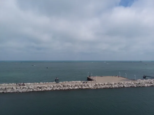
Wind and Weather Alerts
The National Weather Service has several active notices for the Milwaukee area today. A Gale Warning is in effect for the Lake Michigan shoreline, signaling dangerous conditions for any maritime activity due to high winds and waves. Additionally, a Winter Weather Advisory has been issued to address the hazards posed by the expected ice pellets and snow accumulation. While the severe thunderstorm threat that dominated Tuesday night has dissipated, the lingering Gale Warning and Advisory highlight the continued need for vigilance throughout the day.