Hold Onto Your Hats: Unseasonable Balmy Blast Sweeps Through Milwaukee
A Spring-Like Surge in Late February
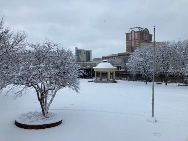
Milwaukee residents are waking up to a dramatic shift in the weather today, Friday, February 27, 2026. After a frosty week that saw temperatures struggling to leave the teens, a powerful warm front has surged into the region, bringing what meteorologists are calling a 'balmy blast.' This unusual late-winter heat wave is expected to shatter typical seasonal averages, pushing the city into conditions more reminiscent of early May than late February.
Morning and Afternoon Predictions
The day began with clear skies and a rapid climb in mercury. While early commuters may have encountered temperatures in the upper 20s, the sun is working quickly to heat the Brew City. By the lunch hour, temperatures are projected to soar into the lower 50s, eventually peaking at a high near 56°F in the mid-afternoon. This significant warmup is fueled by strong southwest breezes that will keep the air moving, though the warmth comes with a blustery trade-off.
- Morning: Sunny skies with temperatures rising from 27°F to 42°F by 10:00 AM.
- Afternoon High: 56°F, marking one of the warmest days of the month.
- Sky Conditions: Predominantly clear with high-altitude wisps of clouds.
Wind Warnings and Safety Notices
While the warmth is a welcome relief for many, the National Weather Service has issued advisories regarding gusty conditions. Southwest winds will sustained at 10 to 15 mph, but afternoon gusts are expected to reach up to 30 mph. Residents are encouraged to secure lightweight outdoor items, such as trash bins, signs, and patio furniture, which could be sent skittering across neighborhoods during the peak of the wind surge. Drivers of high-profile vehicles should also exercise caution on east-west corridors where crosswinds may be strongest.
Evening Outlook: The Transition Begins
As the sun sets, the 'weather whiplash' will begin to manifest. The clear skies of the afternoon will give way to increasing cloud cover during the evening hours. Temperatures will remain relatively mild through the early evening, hovering in the 40s, before dropping toward a low of 27°F overnight. This cooling trend serves as a precursor to a much colder weekend ahead, with a small 10% chance of light snow or flurries developing after midnight as the wind shifts back to the north.
Summary of Forecast Conditions
- Temperature Range: A high of 56°F and a low of 27°F.
- Precipitation: Minimal risk (less than 10%) during the daylight hours.
- Humidity: Dropping to around 53% by the afternoon.
- Wind: Gusty southwest winds peaking at 30 mph.

Public invited to review preliminary Red Arrow Park redesign alternatives at City Hall Rotunda open house

Wisconsin approves state historic marker for Milwaukee’s former This Is It! LGBTQ bar building
Milwaukee officials outline changes to Brady list process, raising questions about notice and oversight