Arctic Grip and Sub-Zero Chills Linger Over Milwaukee
Dangerous Cold Grips the City
Milwaukee residents are waking up to a harsh reality this Saturday, January 24, 2026, as an intense arctic air mass continues to hold the region in a frozen embrace. Following a night of extreme conditions, the National Weather Service has maintained a Cold Weather Advisory for Milwaukee County, which remains in effect until noon today. While the most severe 'Extreme Cold Warning' expired in the early morning hours, the current advisory highlights the ongoing risk of dangerously low wind chills and sub-zero temperatures that can cause frostbite on exposed skin in as little as 30 minutes.
Morning Forecast: Peak Intensity
The early morning hours are the most treacherous part of the day. Temperatures are hovering near -8°F, but the real story is the wind chill. Blustery conditions are making the air feel as cold as -26°F to -40°F in more exposed areas. Residents are urged to limit outdoor activity and ensure all skin is covered if they must venture out. The city has extended emergency measures, including the operation of the warming shelter at the Washington Park Senior Center, which will remain open until midday to assist those in need of refuge from the bitter cold.
Afternoon Expectations: A Cloudy Reprieve
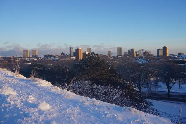
As we transition into the afternoon, the sky is expected to remain mostly cloudy. There will be a slight "warm-up" as the high temperature reaches approximately 8°F. Despite this single-digit high, the lack of significant sunshine means there will be little natural warmth to offset the chill. Winds are expected to persist at around 8 to 10 mph, keeping the "feels like" temperatures well below zero throughout the entire day. While no significant snowfall is expected during the daylight hours, the overcast skies will contribute to a grey, somber atmosphere across the lakefront.
Evening and Nighttime Outlook
As the sun sets, temperatures will quickly retreat back toward -7°F. Cloud cover will thicken, and there is a 20% chance of light snow showers or flurries developing late in the evening and into the overnight hours. While significant accumulation is not anticipated tonight, the combination of sub-zero temperatures and any light moisture could lead to slick spots on secondary roads and sidewalks. Humidity levels will hover around 62%, making the air feel sharp and biting.
Safety and Travel Warnings
Due to the persistent deep freeze, city officials and weather experts have issued the following reminders for the remainder of the day:
- Frostbite Risk: Exposed skin is at high risk; wear layers, including thermal base layers, wind-resistant outer shells, hats, and insulated gloves.
- Vehicle Safety: Ensure vehicles have adequate antifreeze and that batteries are in good condition, as sub-zero temperatures are notorious for causing engine failure.
- Pet Safety: Bring all pets indoors. If it is too cold for you, it is too cold for them.
- Warming Centers: If you or someone you know lacks adequate heating, call 211 to be connected to the nearest available warming location.