A Brief Winter Thaw: Overcast Skies and Rising Temperatures Headed for Milwaukee
Morning Commute: A Crisp but Calmer Start
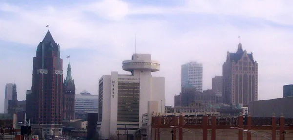
Milwaukee residents waking up this Monday, February 9, 2026, will find a noticeable shift in the air compared to the bone-chilling polar vortex conditions that gripped the city earlier this month. The morning starts with temperatures hovering around 25 degrees Fahrenheit. While still firmly in the realm of a Wisconsin winter, the lack of biting winds makes for a much more manageable commute. Skies remain largely overcast, a theme that will persist throughout much of the day as a high-pressure system begins to shift and moisture levels rise slightly in the lower atmosphere.
Afternoon Outlook: Reaching the Thawing Point
As we move into the afternoon hours, Milwaukee will see a gradual climb in mercury. Forecasts indicate a high temperature reaching between 34 and 35 degrees Fahrenheit. This mini-thaw is being aided by a gentle breeze moving in from the south at approximately 5 to 10 miles per hour. While the sun may struggle to peek through the thick layer of clouds, the ‘warm’ southern air will keep the afternoon feeling significantly milder than the single-digit highs recorded just a week ago. Residents can expect the following conditions during the peak of the day:
- Peak temperatures between 34°F and 35°F.
- Consistent overcast skies with 75% humidity.
- Mild southern winds providing a slight break from the usual lakefront wind chill.
- Dry road conditions for the majority of the city.
Evening and Overnight: Watching the Lakefront Flurries
By the time the sun sets this evening, temperatures will begin to settle back into the mid-to-high 20s. There is a slight chance—roughly 10% to 15%—for very light precipitation as a pocket of moist air collides with the slightly warmer air over Lake Michigan. This could manifest as a few stray snow flurries or a very light, patchy drizzle near the shoreline, but no significant accumulation is expected. Most of the heavier precipitation is currently tracked to stay well north of the Milwaukee metro area, leaving our streets mostly clear for the evening drive home.
Regional Weather Advisories
While local conditions are looking relatively stable, it is worth noting that a regional Cold Weather Alert remains in place for parts of the power grid serving the Midwest. While Milwaukee has escaped the single-digit lows for today, energy providers are still monitoring the region closely to ensure stability as the winter season continues. For those traveling outside of the city, especially to the west, be prepared for colder pockets where the thaw has not yet taken hold. Locally, however, today serves as a welcome, if gray, reprieve from the deep freeze of early February.