A Bitterly Bright Thursday: Frigid Temperatures and Sharp Winds Grip Milwaukee
The Deep Freeze Continues
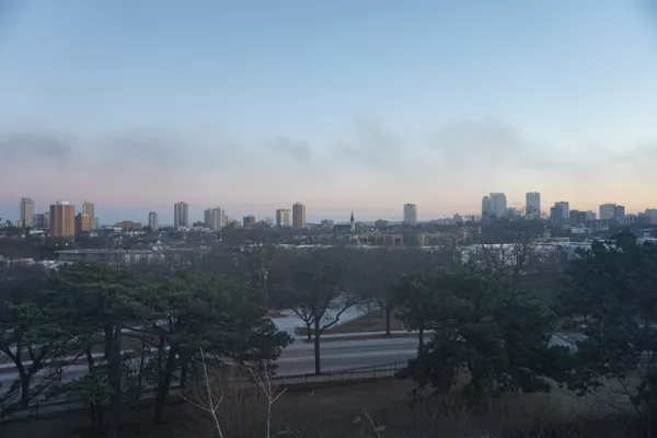
Milwaukee residents waking up this Thursday, January 29, 2026, are greeting a landscape that is as beautiful as it is brutal. Following a week of significant winter disruptions—including the postponement of major sporting events and a critical slowdown in local blood donations due to previous storms—the city remains locked in a frigid pattern. While the heavy snow has subsided for now, the primary story today is the bone-chilling cold that has settled over the Brew City.
Morning: A Sub-Zero Start
The morning hours started with clear skies, but the aesthetic clarity masks dangerous conditions. Early readings at General Mitchell International Airport showed temperatures hovering near 4°F, with a biting northwest wind making it feel much worse. Wind chill values dropped as low as -11°F before dawn, making exposed skin vulnerable to frostbite in a short period. Commuters are encouraged to allow extra time for vehicles to warm up and to ensure they have emergency kits packed, as these temperatures can quickly compromise battery health and safety.
Afternoon: Deceptive Sunshine
As we move into the afternoon, the sun will be out in full force, providing a bright backdrop for the city. However, the sunshine will do little to move the mercury. Predicted high temperatures are expected to reach only 14°F to 15°F, which is nearly 18 degrees below the seasonal average for late January. The wind will remain a constant factor, sustained from the northwest at 11 to 15 mph, ensuring that even under a clear sky, the outdoor environment remains aggressively cold.
Evening and Overnight Outlook
Once the sun sets, temperatures will dive back toward the single digits. Expect the following conditions for the remainder of the day:
- Evening Temperatures: Readings will fall rapidly after 5:00 PM, dropping to approximately 5°F by late evening.
- Sky Conditions: Skies will remain mostly clear to partly cloudy, offering a view of the stars but no insulation from the rising cold.
- Overnight Low: The city is bracing for a low near 1°F, with suburban areas likely seeing sub-zero actual temperatures.
Precautions and Safety
There are no active rain or snow warnings for today, but the wind chill remains the primary concern. Local officials recommend dressing in multiple layers, specifically a moisture-wicking base layer, an insulating middle layer, and a wind-resistant outer shell. With the recent strain on local blood banks caused by the harsh winter weather earlier this week, residents who are healthy and can travel safely are encouraged to check in with local donation centers, as stability in the blood supply is a priority as conditions begin to stabilize.